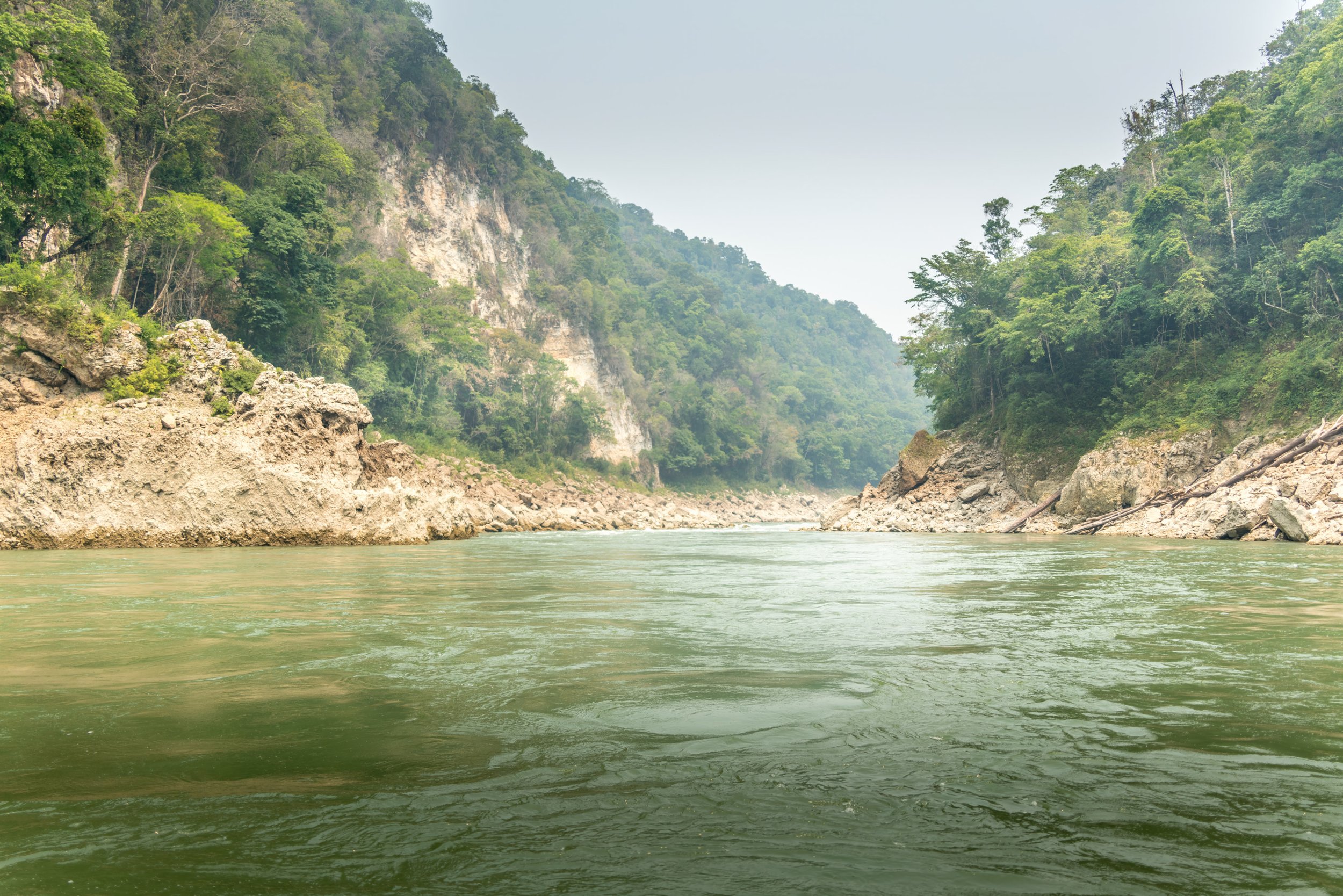
Rio Usumacinta
The sources of the Usumacinta river lie much to the south, in the highlands of Guatemala. The Rio Pasión flows out of the Sierra de Santa Cruz and merges with the Salinas, whose headwaters lie in the Sierra Madre de Guatemala. Their confluence is the Usumacinta, which flows north for a thousand kilometres and empties into the Bay of Campeche.
In ancient times, as well as more modern, the Usumacinta was a highway along which flowed trade goods from the interior of Mesoamerica to the fledgling urban centres that were springing up along its banks: Yaxchilan, Piedras Negras, and other nearby growing city states such as Bonampak and Palenque.

Yaxchilan, Stela 35.

Yaxchilan, Structure E30.

Yaxchilan, Structure 33.

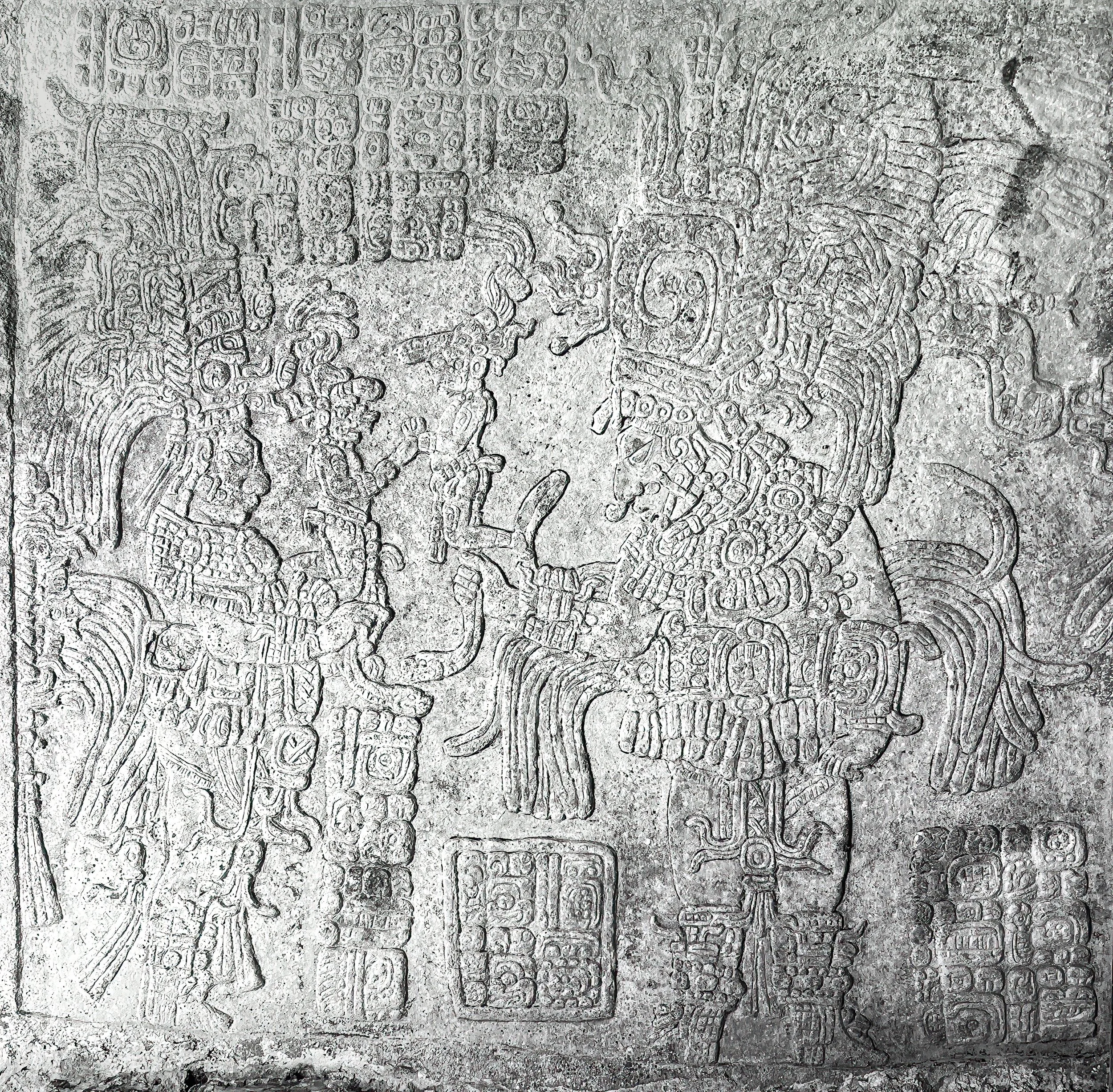
Yaxchilan, Structure 33. Lintel 1.

Yaxchilan, Structure 33. Lintel 2.
Yaxchilan, Structure 33. Lintel 3.

Yaxchilan, Ball Player. Hieroglyphic stairway.

Bonampak, Stela 1.

Bonampak, Acropolis.

Bonampak, Structure 1. Lintel 1.

Bonampak, Structure 1. Lintel 2.

Bonampak, Structure 1. Lintel 3.

Bonampak, Structure 1. Mural detail 1.

Bonampak, Structure 1. Mural detail 2.

Bonampak Structure 1. Mural detail 3.

Bonampak, Structure 1. Mural detail 4.

Bonampak, Structure 6. Lintel 4.

Piedras Negras, Structure K5.

Piedras Negras, main Acropolis. Small clearing.

Piedras Negras, glyphs on a fallen stela.

Piedras Negras, Rio Usumacinta looking downstream from the summit of the Acropolis.

Piedras Negras, standing arch. Main acropolis.

Piedras Negra, Rio Usumacinta looking upstream from the main landing.

Piedras Negras, row of fallen stelae.

Palenque, The Palace. Photo 1.

Palenque, The Palace. Photo 2.

Palenque, Temple of the Inscriptions. Photo 1.

Palenque, Temple of the Inscriptions. Summit.

Palenque, Temple of the Inscriptions. Photo 2.

Palenque, Temple of the Sun. Photo 1.

Palenque, Temple of the Sun. Photo 2.

Palenque, Temple of the Cross.

Palenque, Temple of the Foliated Cross.